


4,5 km | 6,4 km-effort

Tous les sentiers balisés d’Europe GUIDE+


Application GPS de randonnée GRATUITE
 SityTrail
IGN / Instituts géographiques
SityTrail World
Le monde est à vous
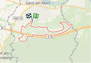
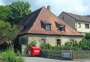
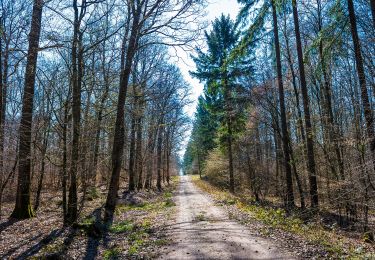
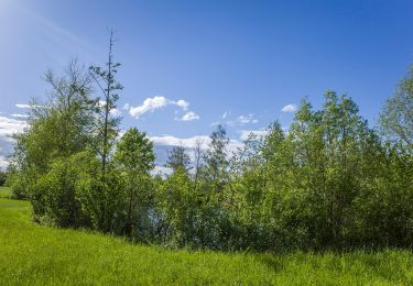
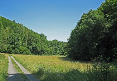
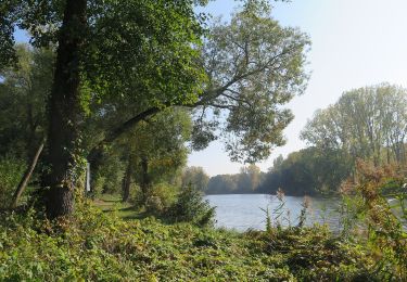
Randonnée A pied de 7,8 km à découvrir à Bavière, Landkreis Haßberge, Sand a.Main. Cette randonnée est proposée par SityTrail - itinéraires balisés pédestres.
kaum markiert, Verlauf nach aufgestellten Karten
Symbole: Blaue 4 auf weißem Hintergrund


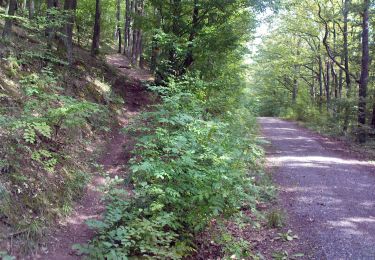
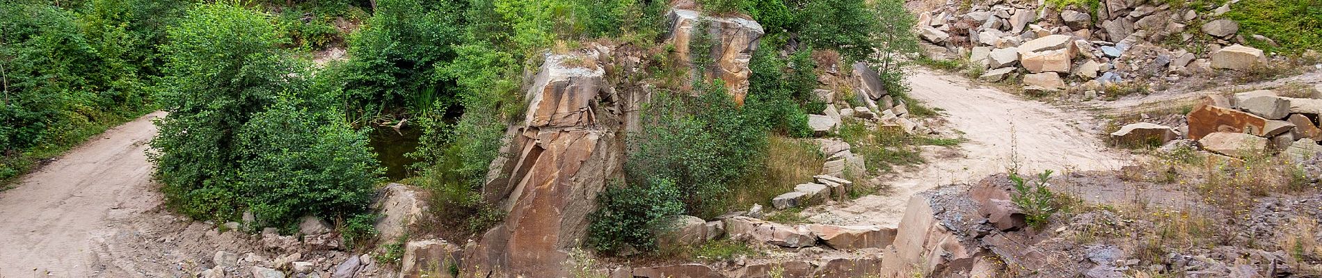
A pied
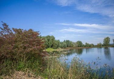
A pied

A pied

A pied
A pied
A pied
A pied
A pied
A pied